|
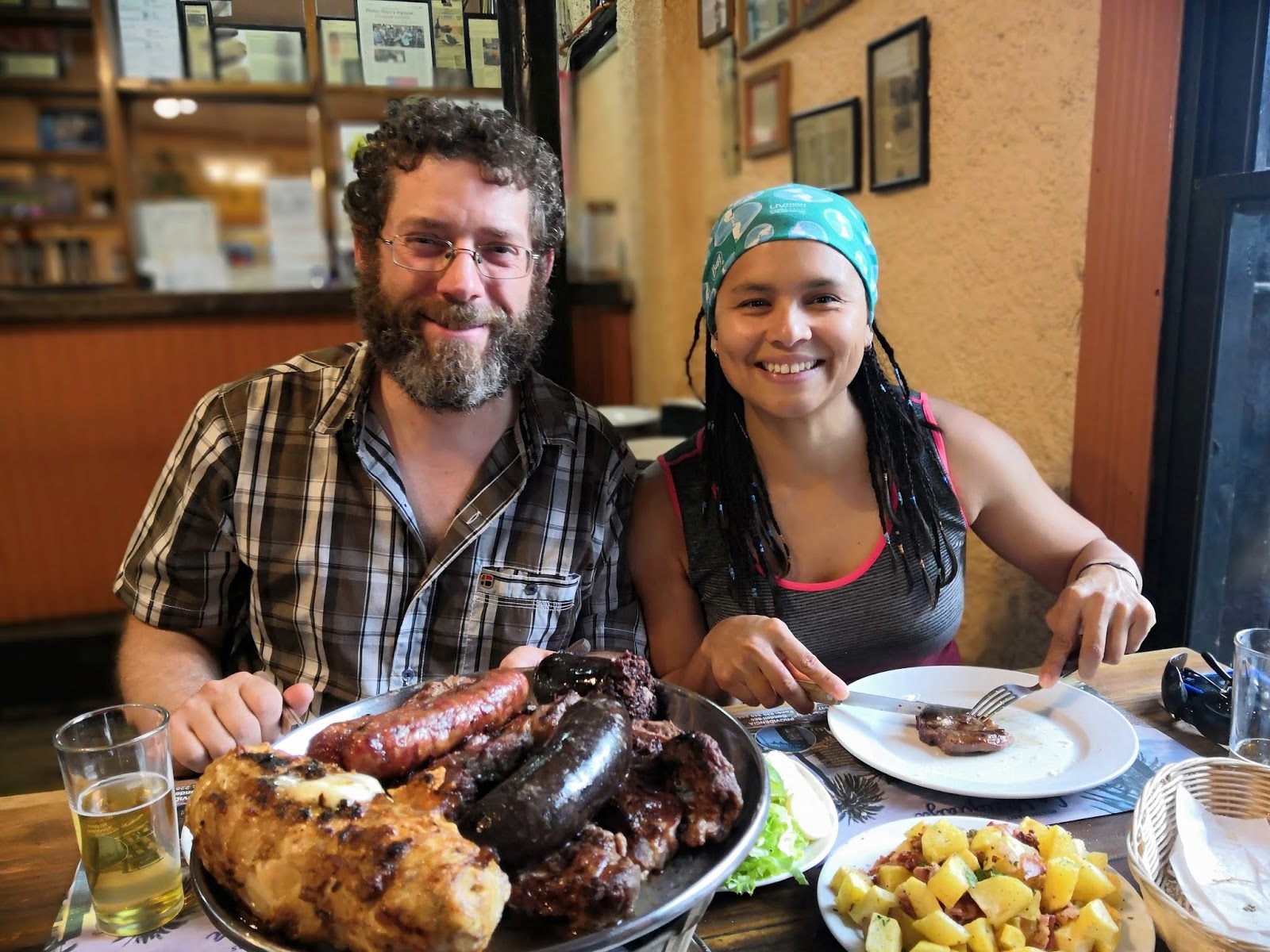
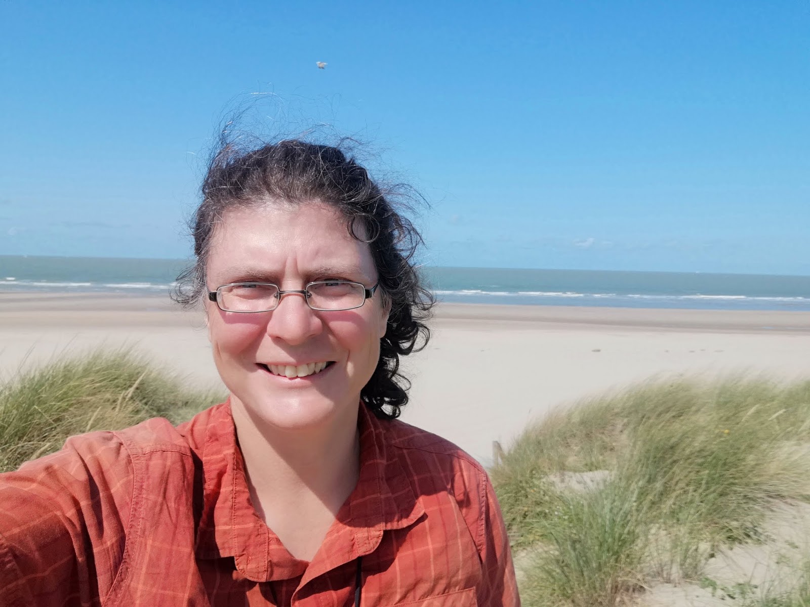
| Jan Dudeck and his wife Meyllin, creators of the GPT |
When I started on the GPT I had already hiked 43,000 kilometers primarily in the United States and Europe. I am not only a Triple Crowner that thru-hiked the famous scenic trails in the US, but I’m also home on the European long-distance trails. Therefore I was convinced that I had walked enough that no trail can surprise me any more.
The GPT immediately taught me that I was wrong! It turned out to be very different from what I had expected and from any other long-distance trail I had hiked before. My previous experiences had led me to a wrong anticipation despite a meticulous study of the 700 page „Hiker’s Manual“ and long talks with other GPT hikers. It took me a long time to adapt to this trail and to enjoy it. These were my primary challenges:
 |
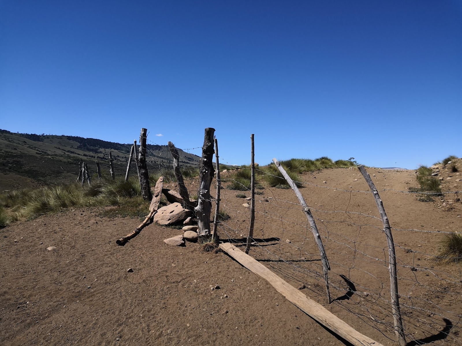
| Endless snow on the Puyehue Traverse |
I was annoyed by the high unpredictability of the GPT which I had never experienced on other
dedicated hiking trails. Hardly any day went as planned. Again and again unexpected obstacles turned up: large snowfields, overgrown trails, impossible river crossings, volcano alerts or denied access. My average „mileage“ dropped from 30 - 35 kilometers per day to only 20 - 25 kilometers per day on the GPT.
If you are not 100% free of vertigo and 100% sure-footed you will need a lot of willpower to cope with some of the steep, exposed and eroded trail sections of the GPT. I‘m personally not much afraid of heights and have hiked thousands of kilometers in alpine landscape. But I learnt on the GPT that it is a big difference to traverse a steep slope on a well maintained dedicated hiking trail in a popular area or on a badly eroded horse trail in the middle of nowhere. On one occasion I even turned back because the traverse of a very steep slope seemed too dangerous to me.
 |
| Relatively good horse trail |
Most of these trail sections are technically not too difficult and although a fall or slip would probably not be fatal, it could still lead to serious injury – and on the GPT there is no one to help! A Carabinero (Police in Chile) in one of the lonely outposts put it this way: “If you slip here you probably don't die immediately from the fall. It takes around three days before you die of thirst or exhaustion. So please leave us your passport details so that we know whose bones we have found.” I carried a PLB for emergencies but you have to be aware that it can take days before someone comes to rescue you.
All these obstacles and threats prevented me from getting into the “flow”, the state in which I can hike mindlessly and unimpeded for hours and days. On most other trails I take a rest day every seven to ten days, but the GPT was so stressful for me that I took more rest days than normal. I also had to say good-bye to my diehard principle of connecting footsteps. This rule is just not feasible on a trail with unpredictable river crossings and volcano alerts.
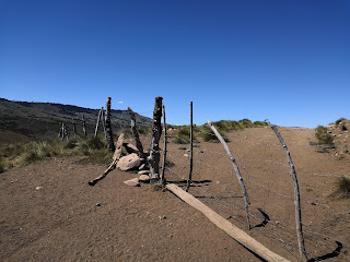 |
| I climbed dozens of these fences |
Another source of discomfort was the frequent trespassing over private properties. I had to climb so many gates and fences without ever knowing if this barrier was built to keep the cattle in or if the owner really wants me to stay out. I had several encounters with security guards, was occasionally escorted out of properties or sneaked in and was hiding myself. Although I had not a single aggressive encounter whatsoever I very often felt uneasy about this situation.
I am usually a very happy solo hiker and prefer going alone but on the GPT I wished for company - not only for safety reasons, but to share the frequent frustration with unexpected obstacles and to take decisions with a hiking partner. This does not mean that you cannot hike the GPT alone. I did it and will do it again. It just means that you will endure a lot more mental stress than on other trails. Be prepared to be psychologically overwhelmed and treat yourself accordingly.
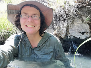 |
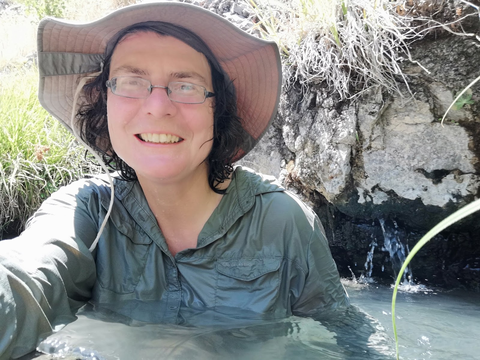
| Frolicking in the hot springs while washing my clothes |
On the positive side the GPT is one of the most spectacular trails I have ever hiked. Its beauty and variety rivals any of the American Triple Crown Trails and I felt an incredible sense of freedom being out there. I was particularly fascinated by the unique landscapes that you will almost only find in Chile like the Valdivian rain forest or the numerous volcanoes. I absolutely loved the hot springs!
There is no trail community whatsoever and you will hardly meet any other hikers but I have had the most interesting and friendly encounters with settlers, arrieros (Chilean cowboys) and Carabineros. It was a cultural experience that was completely new for me.
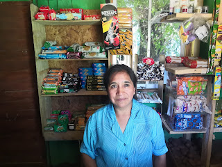 |
| Shop owner in Trappa Trappa |
I found Chile a very easy country to travel and Chileans to be some of the most friendly and helpful people in the world. But keep in mind that I speak fluent Spanish. Without at least some basic knowledge of Spanish you will have a hard time on the GPT and you will miss out on the interesting encounters with the locals. A lot of important logistical information for GPT hikers, like bus schedules or the location of resupply options are not available on the internet. You will have to ask the locals and understand their answers!
This was one of the most adventurous and fascinating trails I have ever hiked – and one of the most challenging.
Did I like the GPT? Yes and No. On the GPT I have been singing with joy and I have been screaming frustrated curses. I loved it and I hated it - sometimes both within five minutes.
Would I do it again? Yes, I am planning to hike and paddle the Southern part, too - but only after a decent break recuperating from my first hike on the GPT.


 Camping turned into a bit of a problem that night
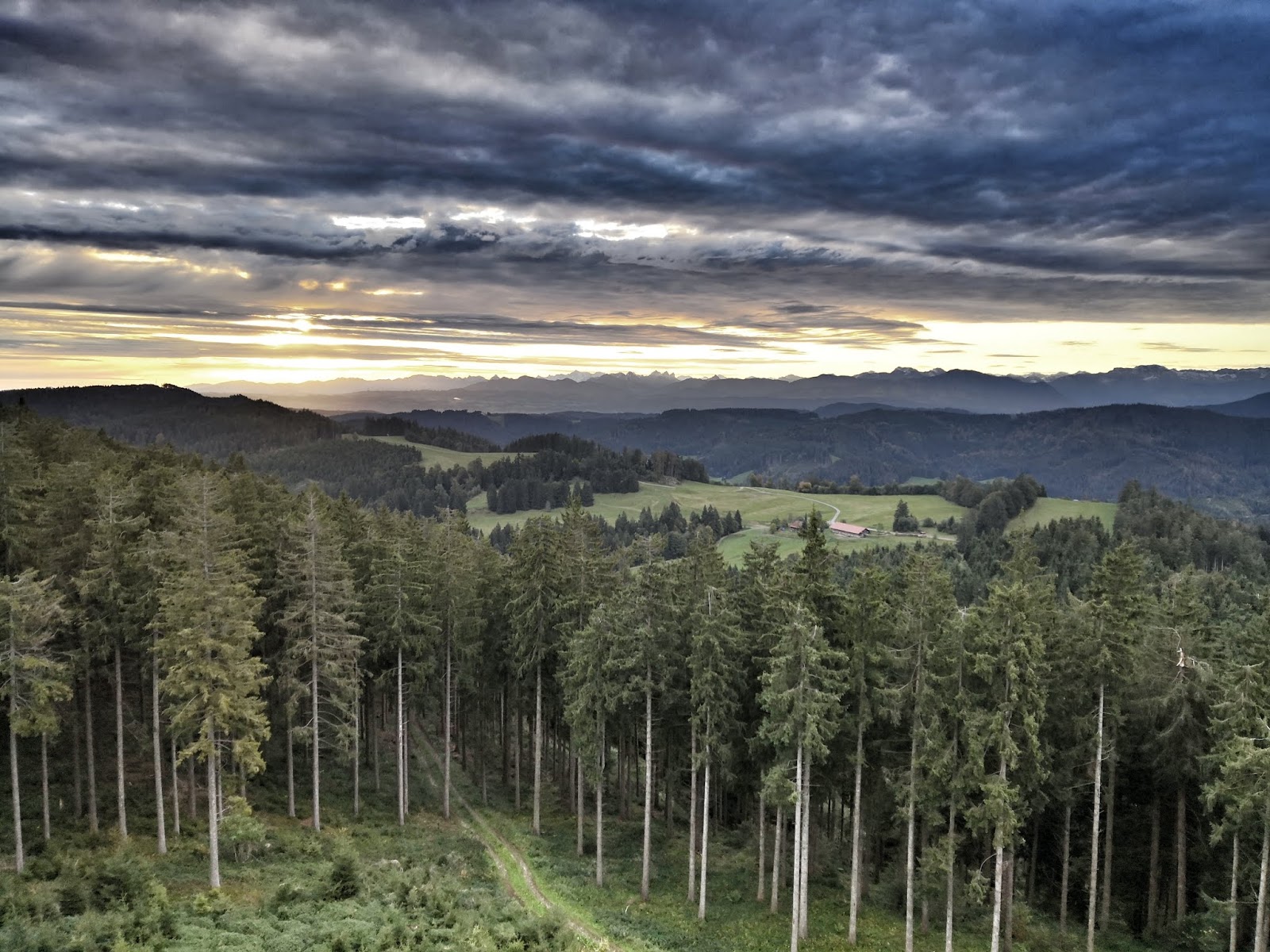
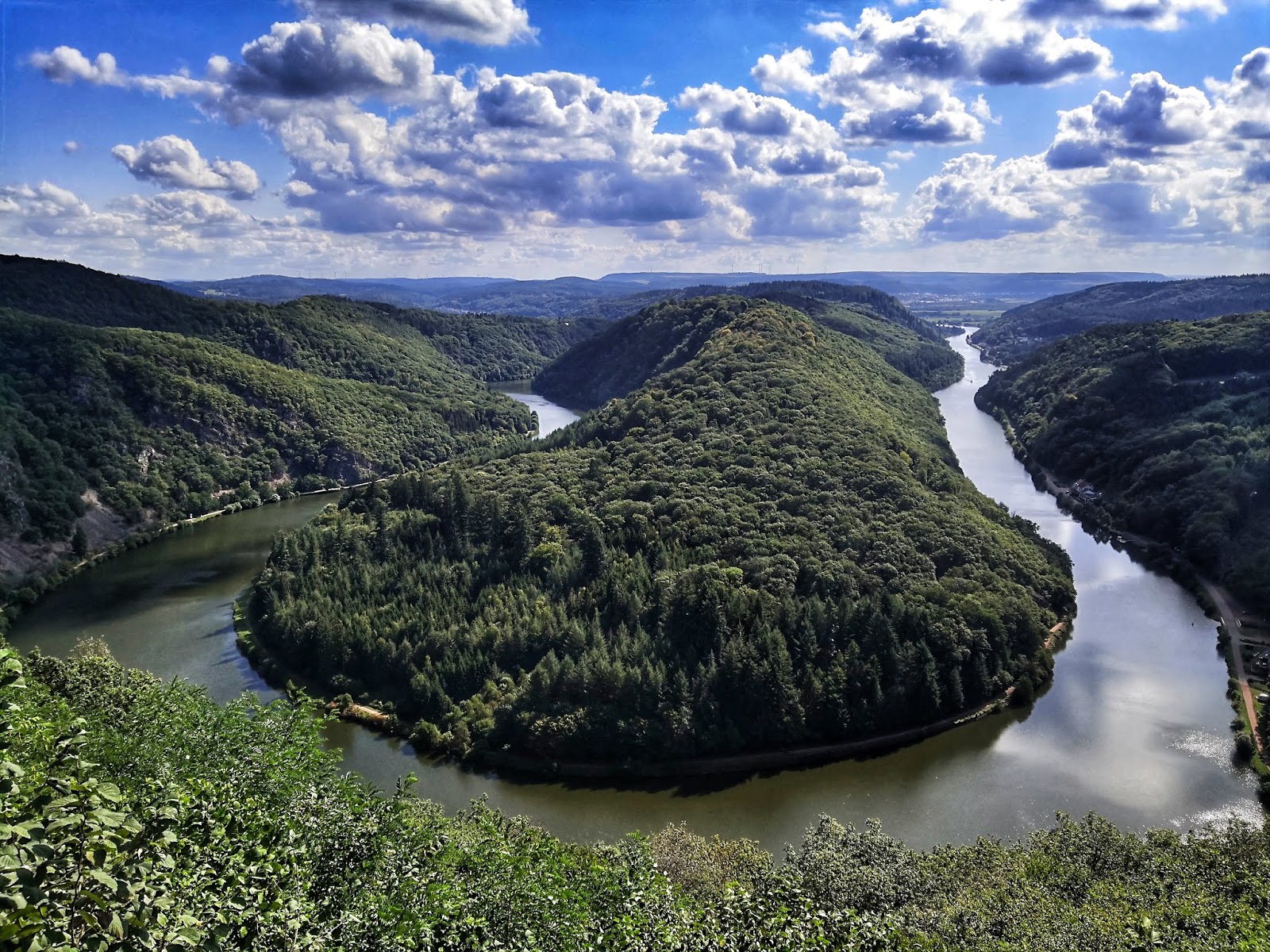
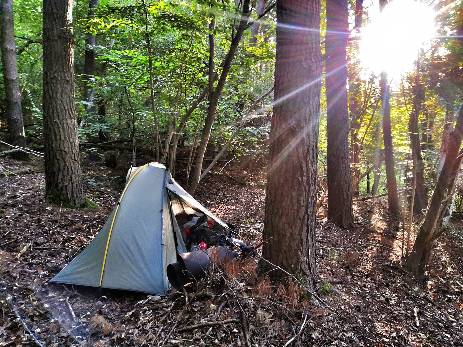
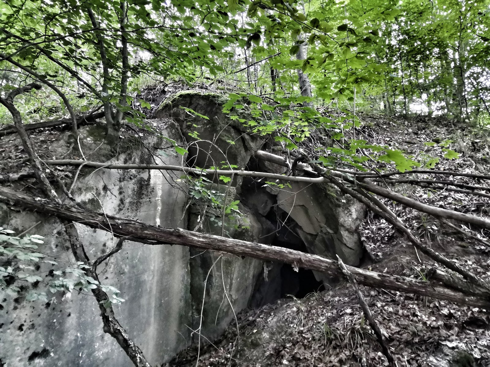 Hiking on I realised that this was not exactly the most scenic part of Saarland. The trail was ok but I was always close to civilisation and continously trying to find a campsite that was out of earshot of the various motorways. One evening I was so happy to find a spot out of sight that it took my a while to figure out that I was trying to camp on top of an old bunker! It was impossible to get my tent pegs in because underneath a very thin layer of earth I hit concrete. It felt a bit bizarre to camp so close to a WW II site but I had no other choice - and I slept well.The Saar-Mosel-Weg even took me right through a university campus where I used the change to charge up my cell phone.
 I was very lucky to have an invitation in Kayl


 I ended up doing a huge detour. Every access trail into the forest was blocked and warning signs were everywhere. I started to worry about were to camp that night! When I reached the forest I had planned to camp in I saw another warning sign and almost despaired. Luckily I took a closer look and discovered that this area had been closed a couple of weeks ago and was now open again. Still, it was already dark when I eventually set up my tent ... The disease has not reached Germany yet and I do hope it stays that way! Also Luxemburg which I was entering now is still free of the disease.
 Wild camping turned out to be a big problem because there was hardly any forest or trees to hide in! I had to plan very well in advance to find a suitable spot every evening. The trail itself wasn't too exciting either: More than 50% I was walking on concrete roads or bike paths! Flanders is definitely more bike than hike country. To my big surprise I even met another female hiker who was even wild camping like me. Still there were some highlights on this stretch: an old water castle and the pittoresque town of Oudenarde. From Ath where there was a big festival taking place I took the train to Brussels for my first rest day in Belgium - and to meet a hiker friend!
 But there were also some highlights: Blackberries were ripe and I had always somehting to snack. And because I was walking along endless fields I could also skip lunch and eat corn cobs. And I passed the Mons which had just recently been Cultural capitol of Europe and was therefore full of interesting museums. There were so many that it was difficult to choose! I visited the War Museum because Mons played an important role in both world wars and the Silex Museum several kilometres away but along the GR 129. Here back in the stone ages flint stone had been mined and the museum is in fact a huge tent where archaelogists are still excavating the old mine shafts. When I had a break in the shade there I found a lot of stone chips that could well have been created by our human ancestors.

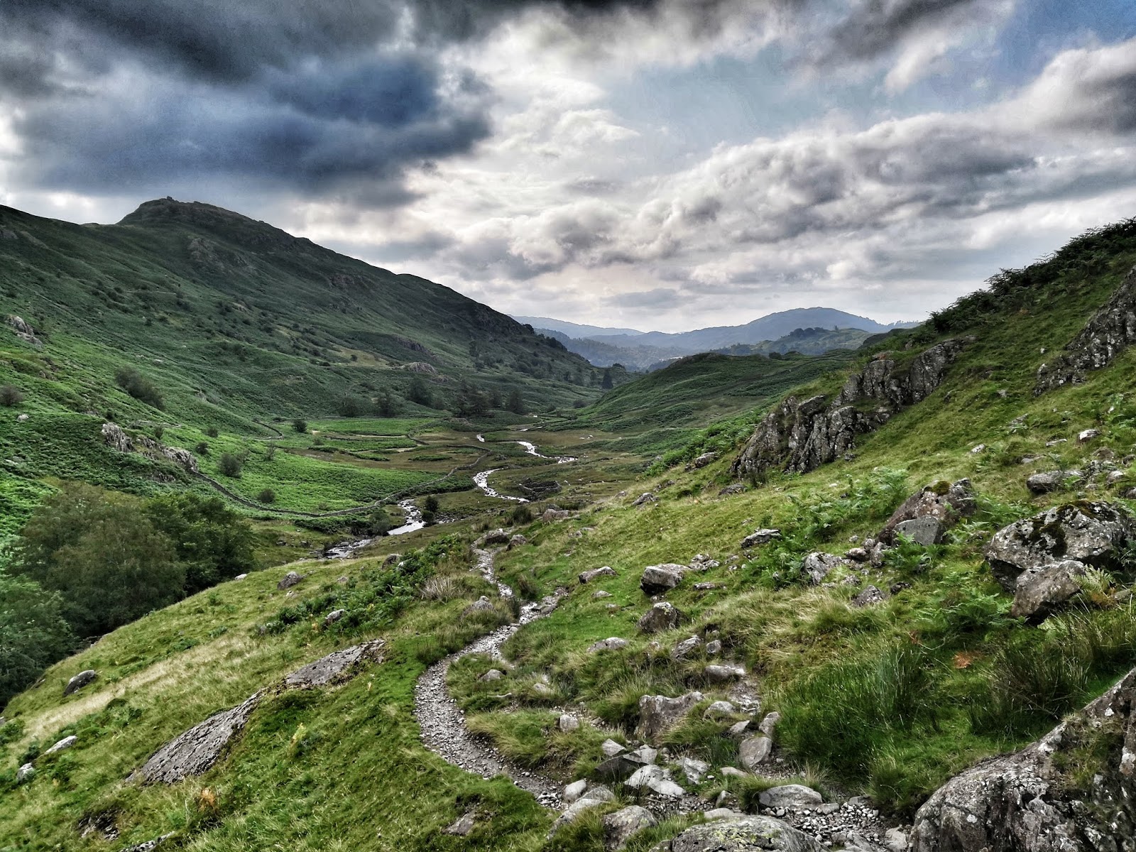 This mostly unmarked trail then continued through the Lake District, a real gem! Despite a lot of rain this stretch was a real highlight and I could not take enough pictures. Unfortunately, in on of the most beautiful places I got so soaked in a cloud burst that I could hardly take any pictures any more. The touchscreen of my smartphone was wet and I did not have any dry cloth to clean it. Plus my fingers were so wet and frozen ... It was still a wonderful day despite the fact that I had to put on soaking wet and cold clothes the following morning. I rewarded myself with a breakfast of champions outside the little supermarket in Grasmere and ate an entire package of chocolate trifle.
 After a sort of connecting day I was in the Yorkshire Dales National Park and had reached the Pennines. More spectacular scenery, a lot of sheep and cattle - but unfortunately only chocolate brown drinking water that slightly tasted of iron but looked colorwise like peach ice tea. There were a lot of industrial remnants in this area which was a mining centre in the 18th and 19th century. What looks almost like wilderness now was a busy industrial area once. Coast to Coast (C2C) is a popular trail and I came across several churches that offered drinks and snacks at cost price for hikers and there was even some trail magic boxes along the way. Very welcome in the rainy weather!


 Coast to Coast was the real highlight of this hike and I can highly recommend it!!!! I had hiked across Britain before from John O'Groats to Land's End and had not liked it a lot. With that experience I did not have high expectations for the Coast to Coast but I was literally overwhelmed by how great it was. One of the big advantages of the C2C is how easy wild camping is!!! It is tolerated in the three national parks and wasn't a problem in the connecting stretches in between. Although C2C is a popular trail I did not meet a lot of other hikers probably due to the fact that I had started on a Monday and mostly camped wheras most hikers stay in town.
  The last stretch through Ireland was on the Wicklow Way, a rather popular Irish hiking trail. There were even Appalachian Trail shelters along the way. Good for me because in one of them I could score an almost full gas canister and batteries (although they turned out to be the worst quality ever!). Some boggy sections even had brand new board walks! By now I had gotten used to Irish weather which meant a faint drizzle every day. No wonder the island is so green. Luckily it never rained hard. Although the area is called Wicklow Mountains it was not very mountainous at all, just rolling hills with more forest than usual. Camping got easier. Biggest highlight of this sections was Glendalough, an old monastery which was now a major tourist attraction. I was a bit overwhelmed by the masses of people, many of them Americans searching for their emmigrant ancestors.


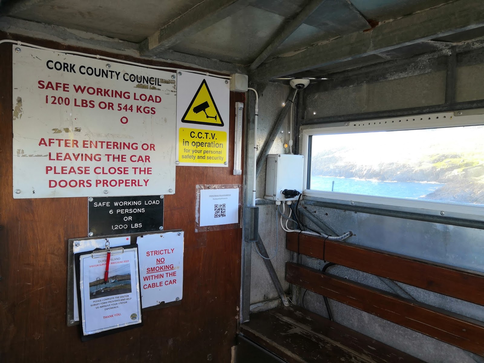
 Once on the island I hurried to Dursey Head and the official start of my hike. I had even brought a